Power Outages Continue To plague Louisiana In Wake Of Barry
Jul 16, 2019
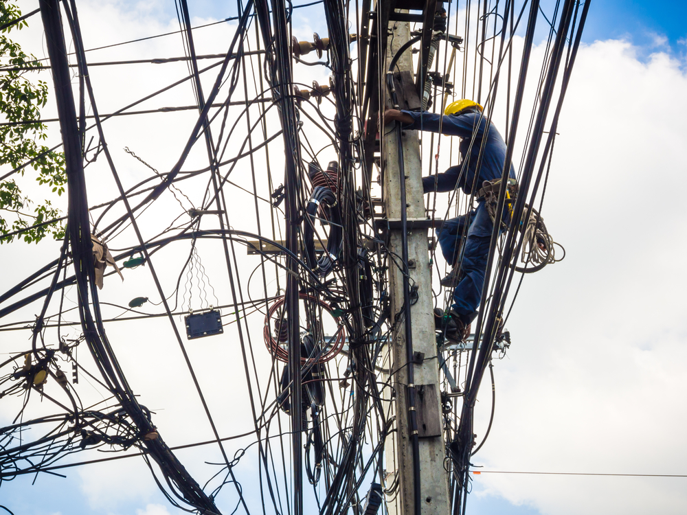
As of 1:30 pm eastern time on Monday, July 15, 2019, 40,478 customers of electric power utilities are still without power in Louisiana in the wake of Tropical Storm Barry. Barry as a Category 1 hurricane made landfall in the area of central Louisiana on Saturday morning, July 13, 2019. Many localities in southern Louisiana were experiencing flooding days before the hurricane hit the state.
Many hours prior to landfall, the governor of Louisiana called for the evacuation of Grand Isle, a barrier island south of New Orleans. Mandatory evacuations were also ordered for parts of Plaquemines and Jefferson Parishes in the state. A waterspout on Lake Pontchartrain came ashore near New Orleans producing significant damage.
New Orleans Mayor LaToya Cantrell told The Weather Channel on Thursday, July 11 that there would not be a mandatory or voluntary evacuation of the city because evacuations can only be ordered for a Category 3 or greater hurricane. Instead, Mayor Cantrell told residents to “shelter in place” during the event. She added that it was expected that there would be 48-hours of consistent heavy rainfall as the hurricane approached and made landfall.
New Orleans officials had warned residents to have at least three days of supplies on hand and to assist in keeping storm drains clear.
Louisiana Gov. John Bel Edwards declared a state of emergency and noted that 3,000 National Guard troops and high-water vehicles would be standing by throughout the state. The declaration of emergency makes state resources available to respond before, during and after the storm.
The National Hurricane Center cautioned that the slow movement of the storm would lead to a long duration of heavy rainfall in the central Gulf coast and inland through the lower Mississippi Valley through last weekend and into this week.
The Federal Emergency Management Agency (FEMA) announced on Thursday, July 11, that it would be sending personnel to Louisiana and Texas. It also noted that it was monitoring any potential effects to areas still recovering from hurricanes Harvey and Michael.
Entergy and CLECO, two of the largest power utilities in south Louisiana reported that they were preparing for power outages. Entergy serves 300,000 customers in New Orleans and more than 1 million in the rest of the state. It had ordered an additional 1,240 workers to be available to help deal with blackouts during the storm. CLECO serves 300,000 customers in Louisiana and Mississippi. It told the New Orleans Times-Picayune that it had called 800 more line mechanics, 395 tree trimmers, and 22 damage assessors to contend with the storm.
On Wednesday morning, July 10, there was already flooding in New Orleans and crews were inspecting levees and pumps that keep water out of the area. A spokesman for the U.S. Army Corps of Engineers said that the city’s levees system was in good shape, but there were concerns about levees in the south of the city. The corps was working down river to identify and reinforce susceptible low-lying areas in the city.
Flash flood watches were posted along parts of the northern Gulf Coast starting in western Florida and spreading out into Louisiana.
The National Oceanic and Atmospheric Administration’s (NOAA) Weather Prediction Center issued a high risk of excessive rainfall for parts of southeastern Louisiana including the New Orleans metropolitan area for Saturday.
On Sunday, July 14, forecasters were cautioning of continued threat of storm surge and heavy rains as the storm slowly moved inland as rain bands on the back portion of the storm began to move onshore. The National Hurricane Center said that areas of south-central Louisiana may experience up to 12-inches of rain and that isolated spots could get as much as 20-inches.
A storm surge and choppy waters of Lake Pontchartrain pushed over seawalls in Mandeville, Louisiana, north of New Orleans.
More than 140,000 customers of electricity providers in Louisiana and an additional 4,000 customers in Mississippi were without power early Sunday, July 14.
As Barry moved slowly over Louisiana, threats of heavy rain and flash floods lasting for several days were predicted in the lower Mississippi Valley. Flash flood watches were in affect for the entire lower Mississippi valley including areas of Louisiana, Arkansas, Mississippi, Tennessee, Alabama, and the western Florida panhandle. The area includes New Orleans and Baton Rouge, Louisiana; Little Rock, Arkansas; Memphis, Tennessee, Jackson and Mobile Alabama; southern Missouri and Illinois and western Kentucky.
On Sunday, a levee in several areas of Plaquemines Parish was topped over and levees were also topped over in two parishes south of New Orleans.
More than 150,000 Louisiana homes and businesses were without power.
The highest storm surge was 7-feet and occurred on Saturday at Amerada Pass in south-central Louisiana. A 5-feet surge took place at the Atchafalaya River at Berwick, south of Morgan City. Residents of Morgan City witnessed a storm surge of about 3-feet, the third highest on record.
As of Monday afternoon, July 15, remnants of Tropical Storm Barry was dumping rain on southeastern Missouri including St. Louis, Tennessee including Memphis, southern Illinois and Indiana.
APElectric, located in Pleasant Prairie, Wisconsin. The company offers a wide range of generators on its website. The products are made by some of the world’s greatest generation manufacturers including Cummins, Westinghouse, Kohler, Briggs & Stratton, Generac, and Guardian. The site also includes a generator-sizing calculator and offers information on how to select the proper generator for your situation.
