Spring Nor’easter Hits Northeast
Apr 19, 2022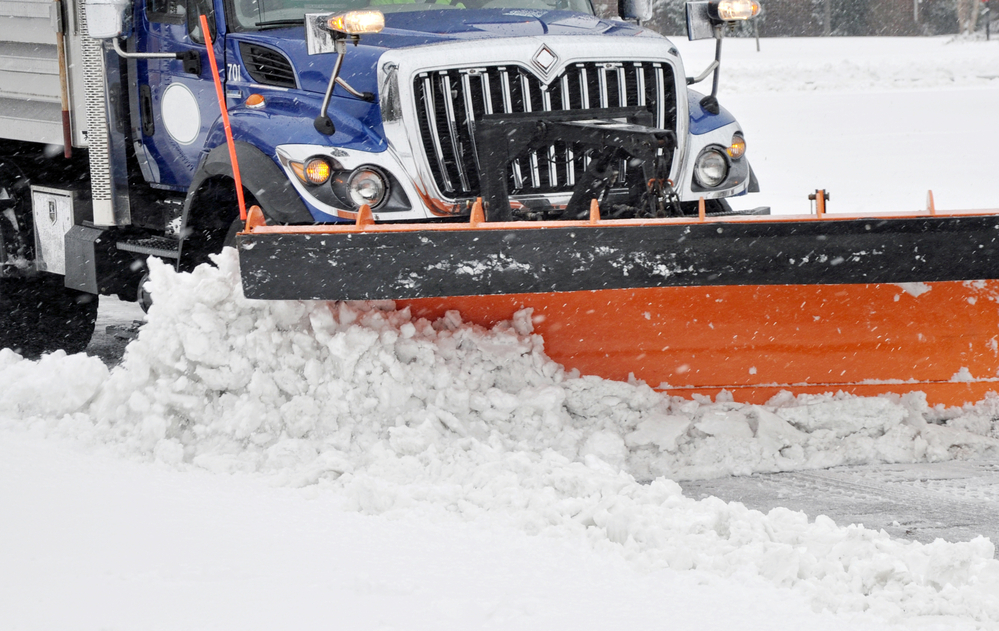
A spring nor’easter is expected to strike the Appalachians up through New York, Pennsylvania, sections of Vermont and Massachusetts. Eight million people could be affected.
Upstate New York and the far northeast of Pennsylvania are expected to get 5 to 10 inches of snow. In New England, the snow is forecasted to be heavy wet and will be combined with high winds that could bring down power lines.
According to the National Weather Service weather conditions call for temperatures cold enough to make it seem as though it’s February, not April.
The storm could also cause flooding from the Carolinas through Delaware and Southern New Jersey. Connecticut and Long Island, New York, could get minor flooding.
Winter weather advisories expanded into West Virginia while winter storm warning were in place in northeastern Pennsylvania and much of the interior of New York.
The storm first appeared along the mid-Atlantic coast and combined with a cold front.
Already-fallen snow totals so far were above 5.5 inches or above in several cities, including Blue Knob Mountain, Pennsylvania, Frostburg, Maryland, and Breezewood, Pennsylvania.
Rain is expected to expand northward along the coast with a wet Monday evening rush hour for New York City, thunderstorms passing through southeastern Virginia and eastern North Carolina. Rain will spread northward from the central Appalachians to sections of the Midwest. Snow and rain spread northward from the central Appalachians to part of the Midwest. Snow began to cover sections of western Maryland, northeastern West Virginia and northern Virginia on Monday.
Unseasonably chilly air is in place prior to the arrival of the storm systems, and atmospheric conditions are ideal for snow across interior portions of the region, especially in higher elevations including the Alleghenies, Poconos and Catskills and stretching through the Adirondacks and Green and White Mountains. A heavy accumulation is expected.
Snow will become widespread after temperatures drop Monday night and on into Tuesday. The snow will spread from the Ohio Valley into northern New England. There were record low temperatures on Monday in a number of northeastern cities, including Binghamton, New York, where it was 23°F, and Reading, Pennsylvania where it was 27°.
Burlington, Vermont and State College, Pennsylvania are expected to get from 1 to 3 inches of snow.
Rain is projected closer to the Atlantic coast. Many cities along the I-95 could receive periods of urban flooding from Philadelphia to Portland, Maine.
A Nor’easter is a storm that occurs along the East Coast of North America. It is called a Nor’easter because the winds over the coastal area commonly are from the northeast. These storms can occur at any time of the year, but are most frequent and severe between September and April.
According to poweroutages.us, the worst areas of outages for April 19 at 9:25 a.m. was:
- New York 199,638
- Pennsylvania 54,488
- Maine 27,771
- Vermont 20,019
- Hew Hampshire 7,828
Unexpected severe weather is a common occurrence these days. You’ll never know for sure when the worst weather will pop up and plunge your community into a major power outage. For peace of mind, maybe you should consider the purchase of a standby generator. Many of these generators are designed to turn on automatically when power is lost from local utilities. Many generators also include Wi-Fi, which allows you to monitor and command the generator with a smartphone from anywhere on Earth.
APElectric is well stocked in generators manufactured by some of the hottest brands in the industry. Visit the company website to review their stock and learn how to select the perfect generator for your particular situation.