Bitter Cold And Ice Storms Shroud North, Central United States
Feb 10, 2021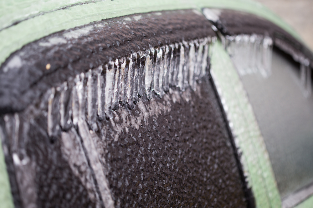
A cell of arctic high pressure hovering over Canada has forced temperatures down by as much as 20 or 30 degrees below normal in the Midwest and northern plain states. Forecasters predict that the rough weather will move into the central and southern states.
Wind chill advisories have already been announced for the northern states, including Minnesota and North Dakota.
Temperatures will drop further south and the cold will combine with moist air coming across the area from the Pacific Ocean, Weather advisories and cautions are being predicted for Illinois, Kentucky, Oklahoma, and northern Texas.
Residents of Arkansas, Mississippi, and Kentucky can expect ice storm warning and experience the possibility of power outages.
Icy roads will cause dangerous conditions on the road making driving a hazard across much of the region. Airline flights may be delayed or canceled.
Much of the upper Midwest is under the grip of extreme cold weather, which is expected to continue through the week. Sections of Minnesota and Wisconsin are being affected by below zero temperatures and will be for several days.
International Falls, Minnesota has experienced a drastic temperature drop to -36 degrees Fahrenheit (-38 degrees Celsius on Monday, reports AccuWeather
Welcome America to another polar vortex, a condition that causes extremely cold temperature conditions. The last time the U.S. was under the shroud of a polar vortex was the winter of 2013-2014. That may be the time that you heard of the phenomena
The polar vortex is circulating winds high up in the atmosphere. It’s actually a common condition that forms every year in autumn, when the sun barely reaches the North Pole. It dissipates in the spring.
The air at those high levels is extremely cold in the winter. A phenomenon that can strengthen and weaken during the season, the polar vortex features wind speeds of more than 200 miles per hour at an altitude of 6 to 30 miles in the stratosphere, which is above the troposphere where weather happens. Temperatures there fall way below -94 degrees Fahrenheit.
Temperatures rise and fall depending on how the polar vortex influences the jet stream –- a band of high velocity wind that blows at an altitude of 6-miles and controls the high and low-pressure systems.
Changes to the high-pressure due to the polar vortex occurred the first week of February. The high pressure over Greenland and eastern Canada has extended into the Artic region. This causes a low-pressure response over northern and Western Europe, western Canada and the United States.
Cold air began to collect over western Canada that extends down into the northern, central, and eastern regions of the United States resulting in some of the coldest temperatures so far this winter.
In the second week of February the high-pressure system over Greenland and Canada consolidated and has moved more towards the polar circle causing the southern movement of very cold weather into Canada and the United States.
Although extremely cold temperatures may not cause power outages on their own, ideal conditions are created for the development of snowstorms. More snow leads to ice conditions that cause power lines to dip and even snap causing outages.
Moreover, extreme cold temperatures results in more residents turning their heater up full blow causing greater use of electricity, which can result in blackouts.
Although the frigid temperatures may not last for long, they will affect certain regions of the country harder than others. To assure comfort for your family during the severe cold, you may want to be prepared for possible power outages.
APElectric carries a wide range of standalone generators manufactured by the top brands in the industry. If you’re interested in possibly upgrading your winter status to avoid possible outages, we urge you to call 847-516-8882 or visit APElectric for more information.